WHY SPACE MATTERS
Location & Geospatial Services
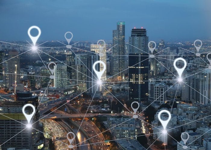
All navigation systems--from GPS in the United States to Galilleo in Europe and GLONASS in Russia--are provided by networks of satellites circling planet Earth. Location services impact the everyday life of civilians across the globe--from food delivery services to dating apps.
In everyday supply chains, GPS tracking has enhanced fleet management, data analytics, and asset security. Other GPS dependent datasets include crop productivity, urban expansion, deforestation, and seasonal access to surface water. Location services combined with artificial intelligence offer location intelligence, which allows businesses and governments to map and analyze data in the context of precise location. Planet, a satellite data provider, offers daily updates for companies and agencies around the globe to make appropriate economic and business choices. In India this year, almost all granular geospatial data and services were made publicly available; the “Smart City Mission” initiative utilized satellite data to support property taxation, election campaigns, and land use planning.
Affecting supply chain management, routine transportation, and all global geospatial data sets, location services are perhaps the broadest and most relevant application of why space matters to daily human life on Earth.
References: